
Walk a Tumwater Street Record
A street directory search works best as a chain, not a single name hunt. Begin with the exact address and retain SW or SE, the street type, and any unit. The county map can turn that text into a parcel number, the stable key used across property reports. Ownership is public, yet it is not the same as present occupancy. A deed identifies parties to a recorded transaction. A voter extract is governed by separate access and use limits. A historical directory is only a snapshot from its publication year.
- Enter the full address in the Thurston County map and record the parcel number, situs address, ZIP, and city flag.
- Open the A+ parcel report. Keep the owner or taxpayer label distinct from the mailing and situs addresses.
- Use the parcel or legal description in EagleWeb. Record each Auditor File Number, document type, date, and party role.
- Check Tumwater permits only after the map confirms city jurisdiction. A permit applicant may be an owner, contractor, or agent.
- For a dated household clue, consult directory, census, archive, or voter material under its own access rules.
The result is an evidence trail. It can establish who owns property, who signed a deed, or who appeared at an address in a dated source. It should not be turned into an unsupported list of everyone who lives there.
Tumwater Street Layer Codes
The official Tumwater address layer is the city source for normalized address features. It exposes more than a point on a map. Its codes distinguish Tumwater, Olympia, and Thurston County; mark an address current, pending, or retired; and identify building, parcel, unit, office, suite, or other location forms. That detail helps prevent a unit record from being mistaken for a whole parcel.
| Layer field | Value or mode | Street-search use |
|---|---|---|
| Address and ZIP | Text and coded values | Confirms the normalized site label and 98501 or 98512 code. |
| CITY | TUM, OLY, THUR | Separates city jurisdiction from postal naming. |
| LOCATION | Building, parcel, unit and more | Shows what kind of feature the address represents. |
| STATUS | Current, pending, retired | Flags addresses that should not be treated as current without review. |
| ADDRESS_TYPE | Residential, commercial, industrial and more | Preserves the city's operational classification. |
The layer date and field labels belong in the research notes. City GIS is an operational source, not a legal survey. Use the county parcel report when boundaries or the legal description matter.
From the Thurston County Property Map, the captured map screen shows the public starting point for a parcel-based street directory search.
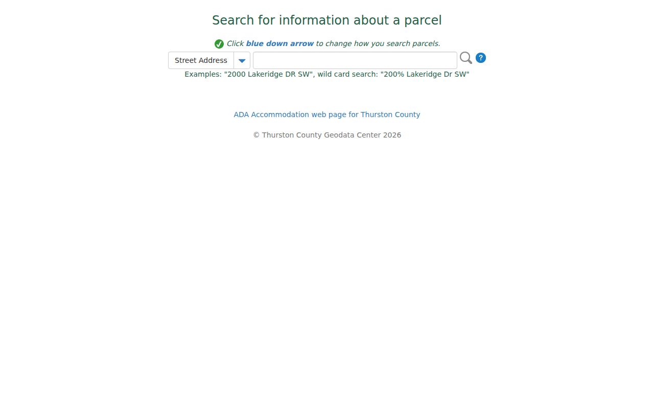
The viewer links mapped land to parcel and jurisdiction details, which should be saved before moving to owner or deed records.
Decode Tumwater Street Suffixes
Tumwater's addressing rules make suffixes useful error checks. West of Capitol Boulevard, routes use SW; east of it, they use SE. East-west routes are generally Avenues, while north-south routes are Streets. Diagonal or non-grid roads are Drives. Places tend to run north-south between Streets, and Ways run east-west between Avenues. Courts are cul-de-sacs, Loops are small loops, and Lanes are private roads.
Keep the wording found in the original record even when a modern search suggests a correction. Search both forms and record which source used each one. The city assigns a new-building address when the permit is issued, so a pending address may first appear in permit or GIS data before it settles into other rolls.
Address check. Preserve the number, directional suffix, road type, unit, ZIP, source date, and jurisdiction on every saved result.
Search Tumwater Parcels by Address
The Thurston County A+ Parcel Search connects an address to the Assessor's current assessment record. A parcel is the county's mapped land unit. The situs address is the physical location, while the mailing address is where tax mail goes. Those labels can differ. Values are dated as of January 1, and a sale line or exemption remains a property fact, not proof of everyone living there.
| Search item | Kind | Required | Result note |
|---|---|---|---|
| Address | Text | Not stated | Search the situs address and obtain a parcel number. |
| Parcel number | Text | Not stated | The most exact county key. |
| Owner name | Text | Not stated | Check same-name matches against parcel and legal description. |
| Map/report | Output | Result | May include owner, address, ZIP, city status, zoning, values, and characteristics. |
| Mailing address | Output | Result | Retain separately from the situs label. |
The A+ portal landing screen is useful for recognizing the official county search before entering an address.
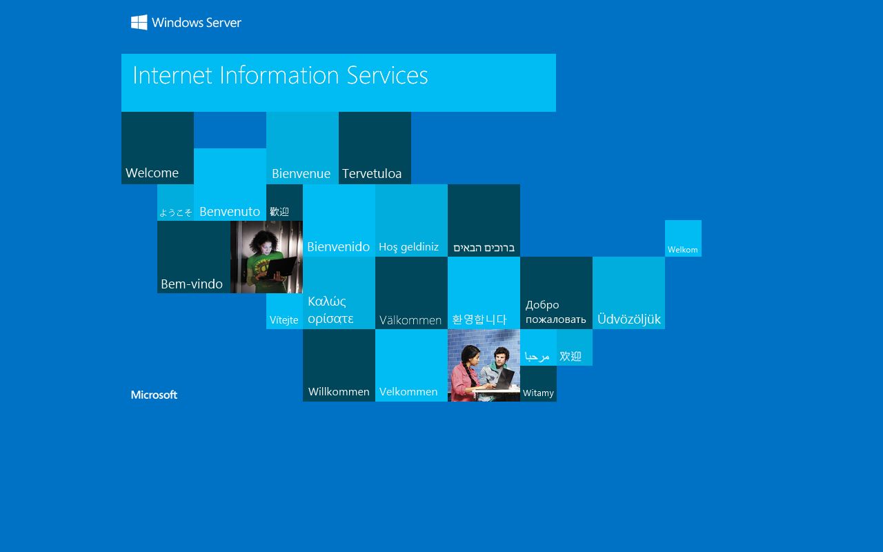
When the web search fails, contact the Thurston County Assessor at 3000 Pacific Avenue SE in Olympia, call 360-867-2200, or email asrinfo@co.thurston.wa.us.
Tumwater Street Records Compared
Each address-keyed source has its own custodian and date. The street directory is strongest when the same parcel is checked across the city, county, and historical layers without blending their roles.
| Record Set | Keeper | What It Shows | Access |
|---|---|---|---|
| Property and assessment | Thurston Assessor | Owner or taxpayer, situs, mailing label, value, legal description | A+ web portal, office, phone, or email |
| GIS parcel and address | Tumwater GIS and Thurston GeoData | Parcel, address status, ZIP, city flag, zoning and active map layers | Public layer, map viewer, or GeoData office |
| Recorded instruments | Thurston County Auditor | Grantor, grantee, AFN, document type, date and legal description | EagleWeb index; copies by written office request |
| Voter information | Thurston Elections and Secretary of State | Only public extract fields, districts, precinct and voting history | Controlled extract request; individual VoteWA account |
| Building permits | Tumwater Community Development | Permit, project, applicant role, parcel, dates and status | Eden search, city counter, phone, or records request |
| Historical directory and census | State Library, TRL and archives | Dated occupant or household clue | Catalog, databases, microfilm, archive, or appointment |
The parcel number joins the map, assessor report, deed index, and permit trail. A street name can help browse nearby records, but it is less exact. For a historical name, match the record date to a directory, census, newspaper, or archive item rather than projecting the current assessment backward.
Follow Tumwater Deeds Along Streets
The Thurston Auditor EagleWeb index supplies the recorded-document step. Grantor means the person or entity giving an interest; grantee means the one receiving it. An AFN is the Auditor File Number assigned to a recording. A plat is a recorded drawing that divides land into lots. Keep the legal description with each hit because similar names and nearby lots can otherwise merge into a false chain.
- Parcel
- A mapped county land unit with its own identifier.
- Situs address
- The physical site address, which may differ from the tax mailing address.
- Plat
- A recorded map showing lots, blocks, streets, and related land divisions.
- Criss-cross directory
- A directory arranged by address or street rather than only by surname.
EagleWeb indexes all recorded documents, but online images are limited by document class. For a missing image, send a written copy request with the AFN to the Auditor at Suite 130, 3000 Pacific Avenue SE, Olympia. Plain copies cost $1 per page. A certified copy costs $3 for the first page plus $1 for each added page.
The official EagleWeb screen identifies the county index and its document-search route.
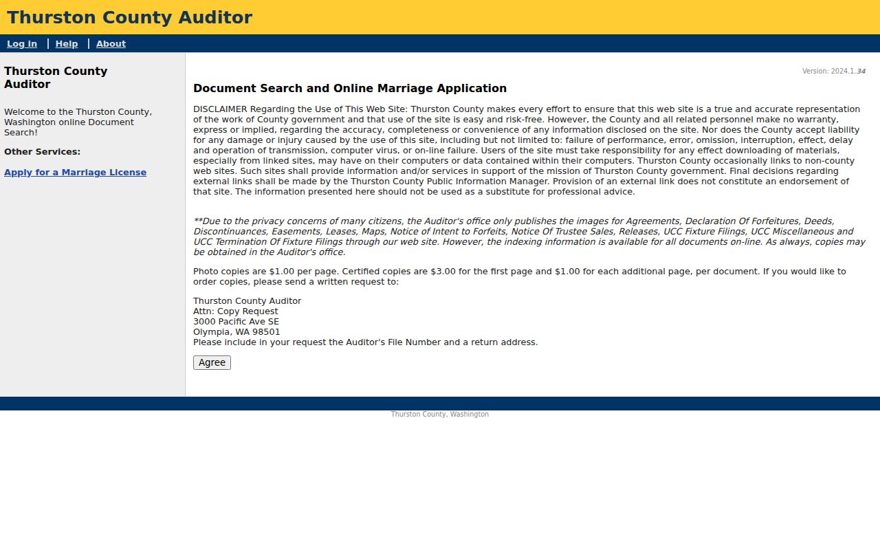
A recording shows a legal transaction. It does not prove that a grantee moved into the address.
Tumwater Permits on a Street
The Tumwater Eden permit search can find city building and land-use activity by permit number, customer number, project name, address, parcel, date, type, subtype, work type, or status. Results may name an applicant or customer, but that role may belong to a contractor or agent. Treat it as project history.
The Eden search form shows the fields available before a request is sent to Community Development.
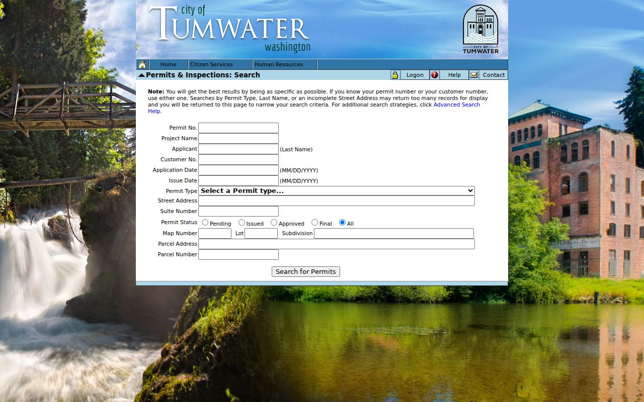
If the portal lacks an older file, call Community Development at 360-754-4180 or request the public permit record. County permit archives apply to unincorporated parcels, so confirm jurisdiction first.
Annexation can change the custodian. Littlerock Road, 806 Yelm Highway, and Sapp Road annexations took effect in 2018 on different dates. Their ZIP codes did not change. Search the Tumwater Records Center by ordinance when a parcel moved into the city system.
For an offline permit request, give Community Development the address, parcel, project name, date range, and department. A permit or customer number will narrow the search. Ask for the public permit record, inspection history, and linked public documents, with exempt fields redacted. City Hall is at 555 Israel Road SW. The permit counter and records-request route matter when an old project does not appear in Eden, while the inspection phone line can help identify the correct current process.
Read Older Tumwater Street Pages
Historical directory runs can supply a dated household clue after the modern parcel trail is clear. The Washington State Library lists Thurston County directory holdings from 1882 through 2005, with gaps. A separately cataloged R.L. Polk title includes Olympia, Lacey, and Tumwater. Accessible catalog text did not confirm a local reverse-directory run, so do not assume every volume can be browsed by street.
Use the alphabetical section when street order is absent. Then pair the entry with a census, deed, assessment, or newspaper record from the same period. Full treatment of the shelves and entry marks belongs in the Tumwater city directory collection.
State Library public access closed on July 1, 2025, with limited Thursday appointments from 1 to 4. TRL genealogy databases, the Southwest Archives, and local newspaper or microfilm resources form the fallback chain. Verify current access before traveling.
Tumwater Streets Cross Record Borders
A postal label does not settle city limits. Tumwater's official address layer exposes 98501 and 98512, while USPS routing may show Olympia. The county map's city flag and the city GIS code are better jurisdiction checks. This distinction determines whether Tumwater or Thurston County holds a permit trail.
The county “Show Me Everything” view can add zoning, shoreline, flood, groundwater, habitat, park, fire-district, road, right-of-way, and utility layers. Those layers explain the setting around a parcel, not who occupies it. Save the map date, active layers, scale when visible, and the city-or-county flag. A screen view remains informational and cannot replace a survey or engineering document.
Planning labels can also differ from legal subdivisions. Airport, Brewery, Bush Prairie, Deschutes, Littlerock, Mottman/Black Lake, New Market, SE Capitol Boulevard, SW Tumwater, Trosper, and Tumwater Hill come from the city's neighborhood map. Use them as search terms, not proof of association membership or municipal boundary.
Note: Record the postal city and incorporated city under separate source labels whenever they disagree.
Tumwater Street Directory Limits
No official Tumwater street directory proves a complete list of current occupants. Property data centers on parcels and owners. Permit files show project roles. A voter extract contains only fields Washington law permits and cannot be used for advertising or solicitation. Driver addresses, protected addresses, sealed records, utility customers, and private group rosters are outside a lawful street search.
Washington's Address Confidentiality Program uses a public substitute address so an actual address stays confidential. Never try to reverse-locate a participant. Hundred-block public safety data must not be upgraded into an exact-address resident claim. If a record conflicts with another, save its date, source, role, and parcel before deciding whether it refers to the same person.
Lawful use. Use Tumwater address records only for lawful personal research. Never use them to stalk, harass, intimidate, or harm anyone.